Overview
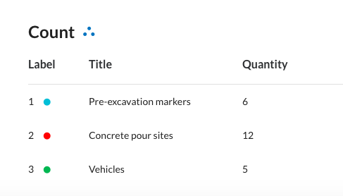
DroneDeploy allows you to count objects in your maps and include these counts in your Annotation Report.
The Count annotation feature is available only on desktop and laptop devices due to performance limitations.
How to use the Count annotation
Follow these steps to count items on your map:
Click the Count annotation icon.
Start counting by clicking on each item you want to count.
Click the undo button to remove a count.
The total quantity will display in the side panel.
Press Enter or Return on your keyboard to complete and exit the count annotation.
You can start a new count or select a different annotation tool at any time from the normal set.
Annotation Report
Counts you make on your site appear in the Annotation Report. To view the report for a map, navigate to the map, click Export, click Reports, and then select Annotation Report.
v2.2