Overview
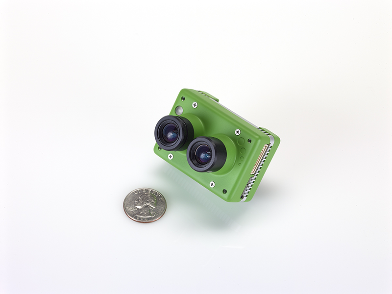
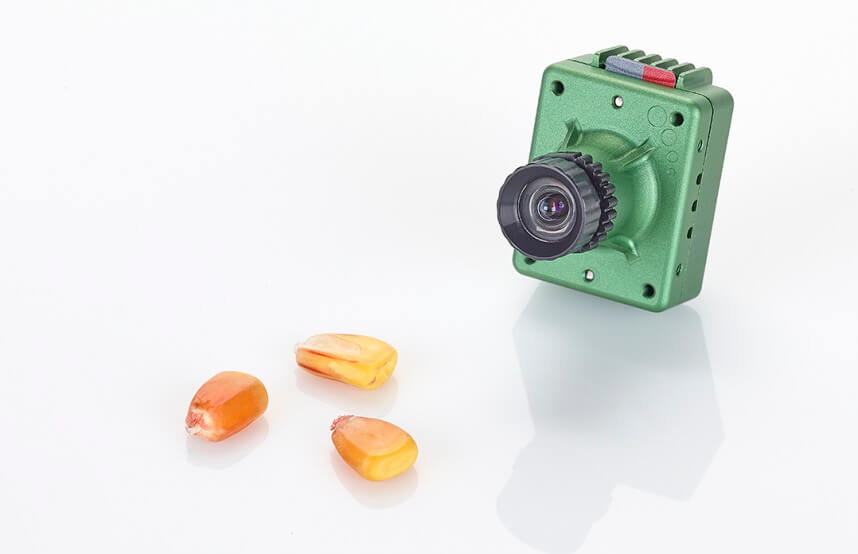
Sentera offers high-precision sensors that capture multispectral data. By using these sensors with DroneDeploy, you can generate specialized maps, such as NDVI, to monitor plant health and vigor.
Company Links
For more information on specific sensor models, hardware specifications, or to purchase equipment, please visit the Sentera Website.
Requirements
To use Sentera cameras with DroneDeploy, ensure you meet the following criteria:
A compatible DJI drone.
A supported Sentera sensor (such as the High-Precision Single or Double 4K).
An active DroneDeploy subscription with access to third-party sensor processing.
What Sentera cameras does DroneDeploy support?

Sentera Double 4K

Sentera High Precision NDVI Single Sensor
How to use Sentera with DroneDeploy
Follow these steps to capture and process your data:
Install the Sentera sensor on your drone according to the manufacturer's instructions.
Open the DroneDeploy app on your mobile device.
Plan your flight by selecting your desired area of interest.
Navigate to the Advanced settings tab.
Click the 3rd Party Camera toggle to enable it.
Complete your flight to capture the imagery.
Data Processing
Once your flight is finished, you must upload the imagery to DroneDeploy for processing.
Upload the imagery from the Sentera SD card directly to the relevant project in the DroneDeploy web dashboard.
The system will automatically detect the Sentera metadata to process the specialized crop health layers.
How should I analyze my data?
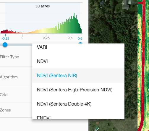
Select RGN From the Band Order filter.
Then, specify your Algorithm according to the camera model you are using.

Now that you have the correct band order applied, check out more information on Plant Health.
We also have quite a few webinars and case studies posted on our Resources page.
Frequently Asked Questions (FAQs)
Q: Does DroneDeploy support the Sentera Double 4K? A: Yes, DroneDeploy supports the processing of data from the Sentera Double 4K sensor.
Q: Can I view Sentera maps on my mobile device? A: Yes, once processing is complete, you can view the resulting maps on both the web and mobile platforms.
v2.2