Comparing maps and map measurements to one another side-by-side can help you visually track changes, detect issues and monitor stockpile quantities and slope stability on a job site. The side-by-side tool in DroneDeploy makes it easy for you to do just that.
Side By Side Comparison
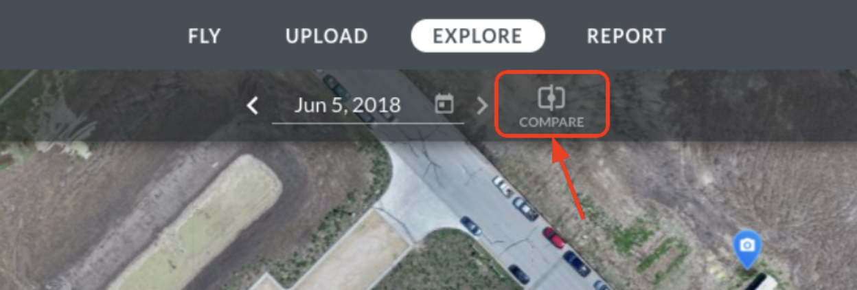
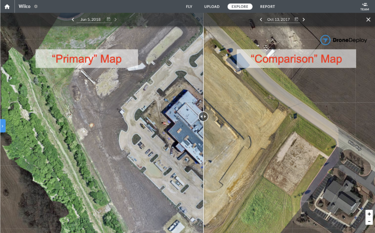
To enter the side-by-side comparison mode, click the “Compare” button on the date selector bar. You will see a slider appear in the middle of the screen and two date selectors appear in the top bar.

The date on the left is for the “primary map”, and the date on the right is for the “comparison map”. The primary map is the map that you had been viewing when you entered the compare mode and all of the annotations that you see while in compare mode pertain to this primary map. By default, the comparison map will be the map captured just prior to the primary map, however, you can change either map selection by clicking on the forward and back arrows or the dates within the top date selector bar.

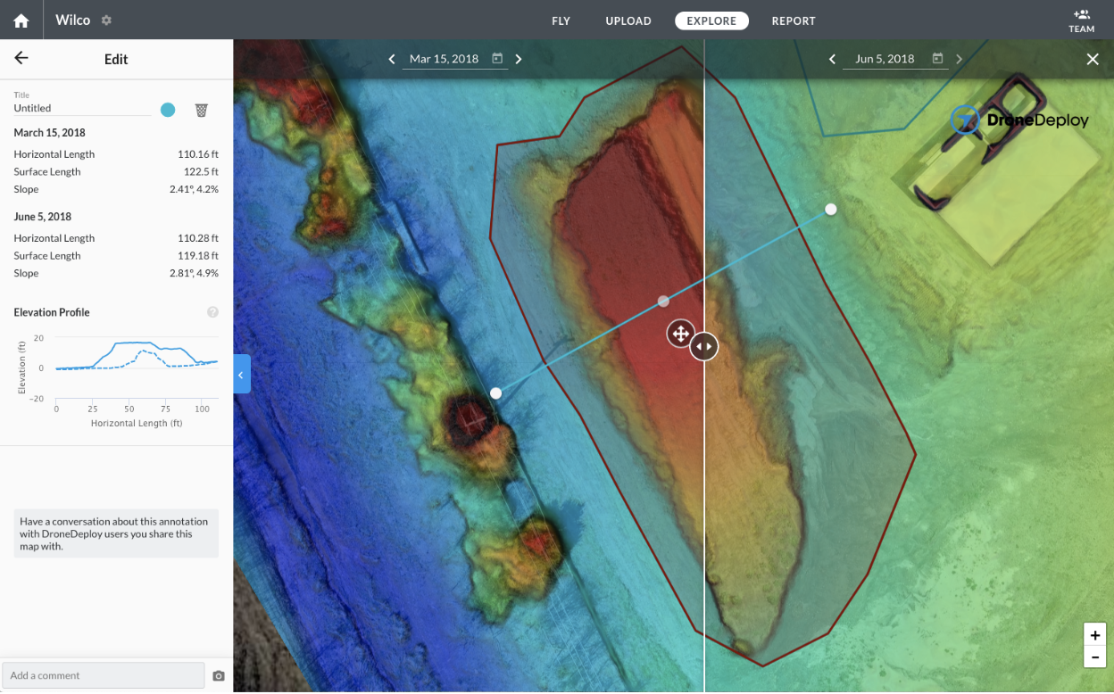
Compare mode can be used to compare elevation, plant health, and other map layers between two map dates. Any map layers that you select in the sidebar will appear on both maps, provided that the necessary data is present in both maps. If you are trying to compare the digital terrain model on one map to another map that does not have a digital terrain model, the layer on the comparison map will not appear.
The comparison mode can also be used to compare measurements on different dates. Whenever you select a measurement while in compare mode, you will see two sets of measurements in the side-bar -- one set of measurements for the primary map, and another set of measurements for the comparison map. This will allow you to compare volume measurements, elevations, and even slopes and elevation profiles between map dates.

You can create new measurements while in side-by-side comparison mode, but keep in mind that these measurements will only be saved to the primary map, not the comparison map.
At this time, the side-by-side comparison mode cannot be exported or shared via a link.
Maps must intersect in order to be used in the compare mode.