The Project Design Plan Overlays tool allows you to easily import, overlay, and view design plans and utility maps on all maps of your DroneDeploy project. This lets you quickly check progress against plan drawings, grading vs. actual elevation, spotting health and safety issues, annotating delivery route planning, and many other use cases.
You can orient and overlay design plans, like CAD drawings, on top of your latest drone map within a given project allowing you to automatically overlay the same file on all maps in that specific project. Viewing design plans in the context of the latest drone map helps customers to share a project with larger construction teams and trust that everyone will always have access to the most recent data.
How to Add Overlays to Your DroneDeploy Map
1) Add Your PDF Drawing or PNG Image
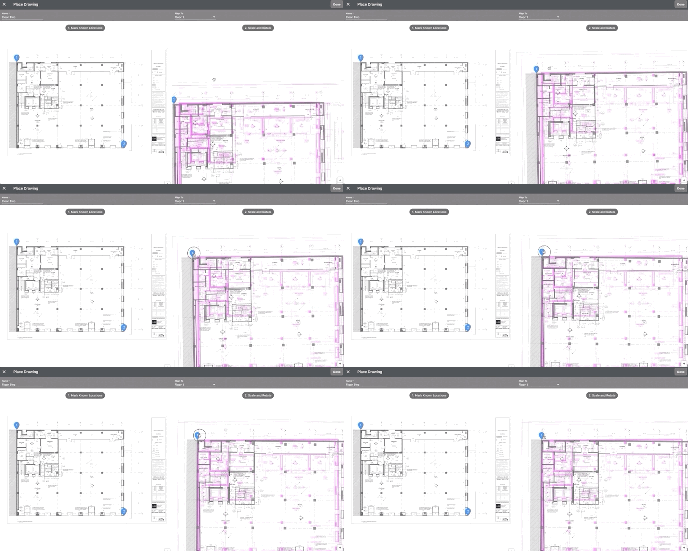
Click the “Add” button under the "Layers", select a single page PDF document or PNG image with a transparent background, and then drag the two markers to align the image using recognizable features on the map.
Select "Drawing" from the Overlay options:
Choose "Select File" to import a file from your computer.
2) Align Your Design Plan Overlay
Drag the two markers to align the image using recognizable features on the map, or to existing overlays.

3) Add Any Additional Overlays (if necessary)
You are able to add multiple plans to the same map and show or hide different layers.
4) Design Plan Overlay Complete
A final overlay over the map.
Viewing overlays in the Elevation mode can provide many insights.
5) Explore Design Plans Overlay within your Project
Once the design plans overlay has been added to a map within a project, it will automatically appear on all maps within the project, including any that may be created in the future.
6) Export your Overlay!
You can now generate a raster orthomosaic with the overlay included. To do so, please make sure that the overlay is enabled on your map data page. Then create your export to receive the date with the overlay included.
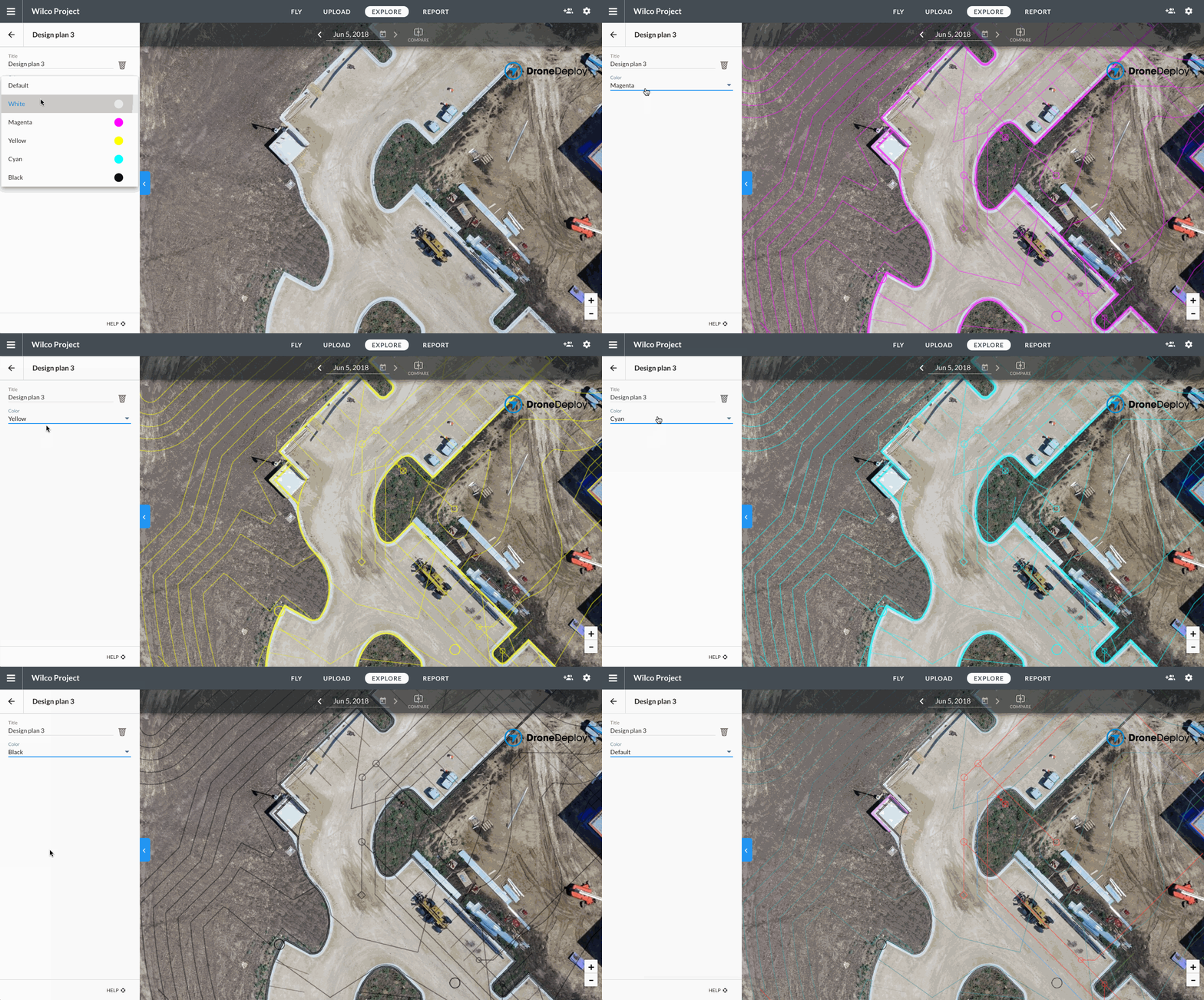
Want to change the display color of the Overlay?
Some overlays can be difficult to see depending on the map itself. Users can now change the color of the Overlay within DroneDeploy!
