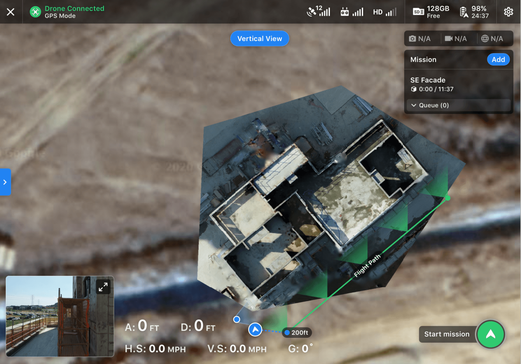
This guide will help you create a flight plan for vertical/facade flights. This flight plan is optimized to capture a single side of a building, creating overlap from top to bottom in order to model the facade.
What is Vertical Flight used for?
We designed Vertical Flight to capture areas that top-down photography simply cannot see. This helps provide both high-resolution photos of structure sides and the necessary capture for game-changing 3D reconstruction in DroneDeploy.
Getting Ready to Fly
Similar to other flight modes on DroneDeploy, to get started with Facade Flight, simply find it in the list and create a new plan:
Once the new plan is created, you can start tuning the settings to meet your flight needs.
Important settings include:
- Move and drag the Facade on the map to align to the surface you would like to capture.
- Set the Travel Altitude which is the altitude the drone will travel to and from the area of capture. This can be used to clear obstacles along the way to the Facade.
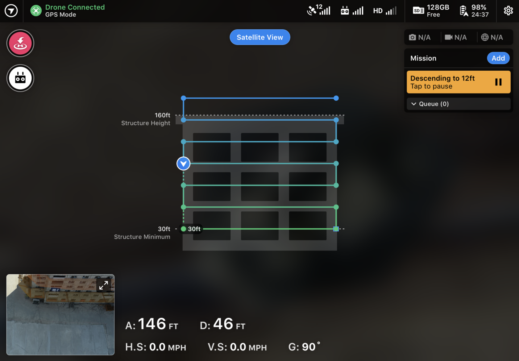
- Set the Structure Height of the Facade that you would like to capture. We recommend setting this to the height of the structure, not lower.
- Set the Lowest Altitude (Structure Minimum) which is the lowest altitude you are comfortable with the drone flying. The drone will not fly lower than this altitude.
- Set your Capture Distance for how far from the Facade the drone will fly. This defines where the Flight Path will be offset from the Facade.
New to Vertical Flight is the ability to switch into a Vertical View to see how the drone will fly. The settings you've set will be reflected here. You will also be able to rely on this view during the flight.
You may switch back to the map layer by tapping Satellite View at any time.
In Advanced settings, you will find several other noteworthy option,s including:
- Overlap - Customize both front and side overlap for your flight.
- Flight Direction - While your flight will default with bottom-up capture, you may invert this to capture top-down.
- Gimbal Angle - By default, we will capture head-on photos at 0 degrees. You may tune this as desired.
Flying with Vertical
Much like other flight modes on DroneDeploy, you must pass the pre-flight checklist in order to take off. Additionally, you may add other plans to your Mission.
If you desire to make a photo-realistic 3D model, we recommend planning several Vertical plans to capture your structure from all sides and flying together with one Mission.

Once you reach the beginning of the Flight Path area the drone will begin to descend from the Travel Altitude to begin capture. When this happens, the Vertical View will automatically be shown to give you full visibility on what is happening. While the drone is descending, you will also see a highlighted area identifying what altitude the drone will be descending to and providing a clear way to stop the drone if you encounter any problems. All this is done with safety and control in mind.

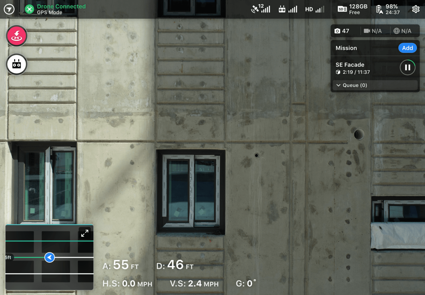
While the drone is executing the flight you may watch in First Person View from the video feed, Satellite View from the map, or Vertical View from the vertical plan. Remember, you may pause at any time to take additional capture.

Upload and Processing
Once the flight is complete you will be offered the chance to mobile upload your images. Mobile upload will upload your vertical flight and start processing automatically.
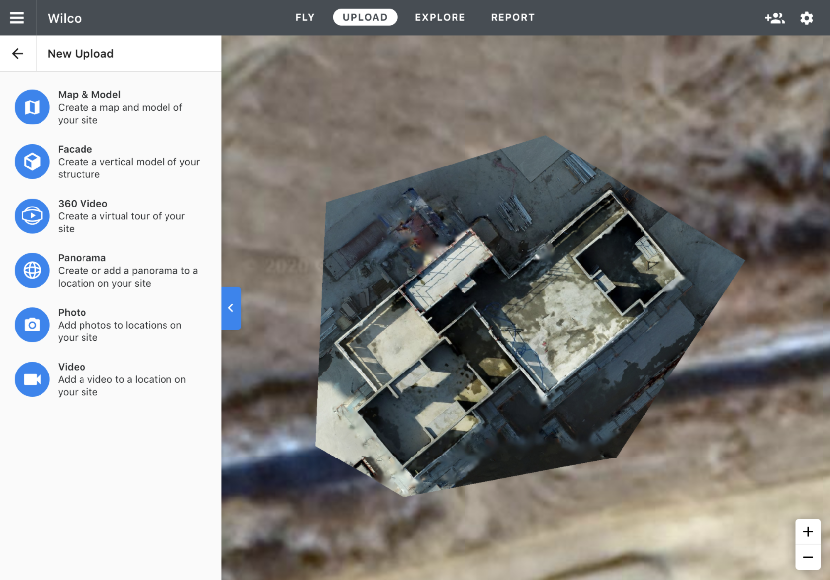
You may also upload by accessing your project from the web and selecting the Upload tab. There you will find a new upload option for vertical.
If you are looking to create a model of a single facade choose the new vertical plan type and upload to it.
If you are looking to create top quality 3D models and you've captured from every side of the building we still recommend using Map & Model.

Performing Inspections
Once processing has been completed, you may view it on the DroneDeploy website. Here, you will have access to all of DroneDeploy's inspection tools to mark up, share, and export details.
For more information on navigating the facade flights after processing, check out this article: Facade Inspections